- calendar_today October 10, 2026
Start of the Weekend Brings Cool Temperatures
This weekend begins with one of the nicest days of the three-day stretch, offering plenty of opportunities for outdoor activities under pleasant fall weather conditions. Saturday morning arrived with a distinct fall chill, as some areas in the Bay State saw temperatures dip into the 30s. Coastal locations, especially the urban heat island of Boston, woke up to temperatures in the 40s.
Afternoon Temperature Highs and Best Outdoor Conditions
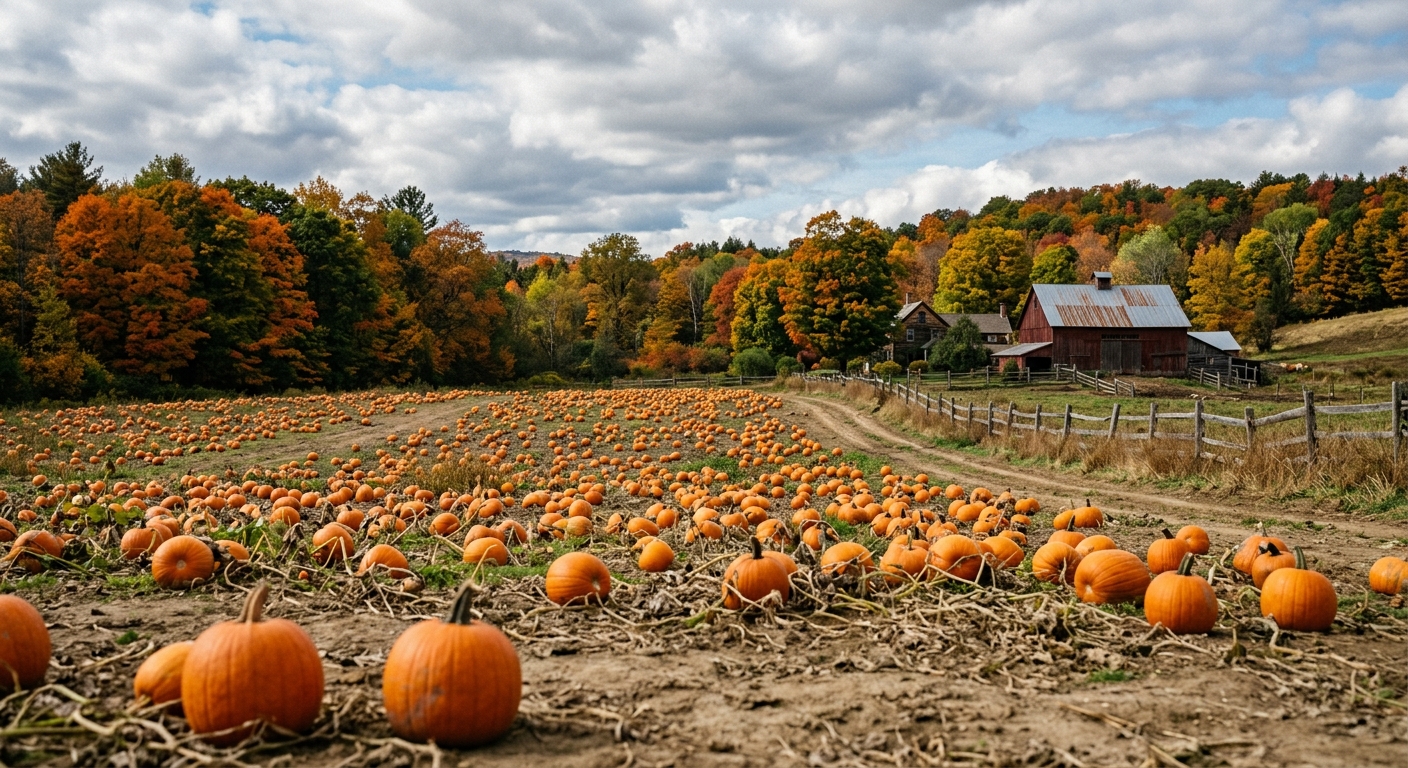
By Saturday afternoon, expect temperature highs in the low to mid-60s, which is typical for this time of year. A light breeze and a mix of sun with high clouds create a great day for seasonal activities such as pumpkin picking, enjoying apple cider donuts, or taking in New England’s foliage. The day is forecasted to remain comfortable and largely dry, making it the best for outdoor plans across the weekend.
Frost Advisory in Some Areas Overnight
Saturday night brings a return to cooler conditions, with overnight lows in the 40s. However, some parts of the Merrimack Valley could experience temperatures in the 30s again. Because of these chilly predictions and light winds, a Frost Advisory has been issued for Hillsborough and Rockingham Counties from 2 a.m. to 8 a.m. on Sunday. Residents with sensitive plants are advised to take precautions and cover their flora to minimize frost damage.
Sunday Weather: Cloudier Skies and Rain from Isaias Remnants
Conditions change on Sunday as the isaias remnants impact the weather. The storm originally made landfall as a Category 2 hurricane near Destin, Florida, at 9:30 p.m. on Friday night. Now weakened, the storm is pushing north and bringing driving rain through the midsouth and southeast. New England can expect increased cloudiness by late Sunday morning, with highs again in the low to mid-60s.
Showers are expected to begin between 3 p.m. and 6 p.m. and will become more widespread through Sunday evening, persisting overnight. Residents should be prepared for rain during this period, with precipitation tapering off leading into Monday morning.
Rain Forecast and Temperature Change on Monday
Monday starts off with lingering spotty showers around sunrise, but the last of the rain forecast will fade by noon. The latter part of the day will be drier, offering improved conditions for outdoor plans. Monday’s highs will be slightly milder, reaching the mid to upper 60s.
Looking Ahead: Next Round of Rain and Cooler Weather
The forecast indicates another period of rain on Tuesday, this time due to a low pressure system moving in from the west, not a tropical system. Tuesday morning is expected to be dry, but scattered showers will return by late afternoon. Once this system passes, New Englanders can anticipate sunnier but much cooler weather for the latter part of the week.
Summary and Weekend Weather Outlook
In summary, each day of the three-day weekend offers some opportunity for time outside, but Saturday stands out as the most agreeable for those looking to make the most of the early fall conditions. The forecast for the region includes several changes, so keeping up with the latest weather updates is recommended for any upcoming plans.
Source: whdh.com.